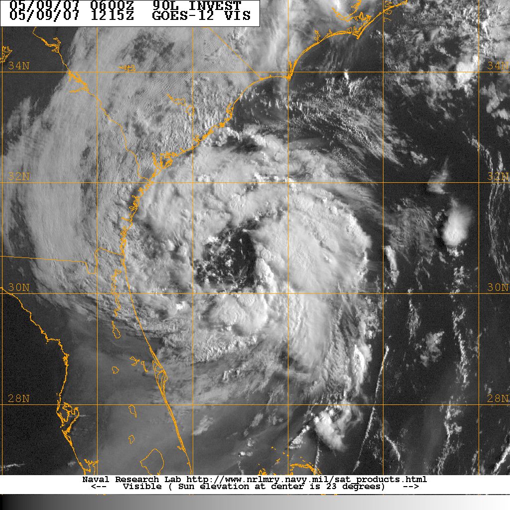

Visible satellite image of Sub-Tropical Storm Andrea. Image courtesy of the Naval Research Laboratory, Monterey CA.
Sub-Tropical Storm Andrea was originally an extratropical low that gained tropical features as it drifted west-southweest over sub-tropical Atlantic waters during the second week of May 2007.The National Hurricane Center designated Sub-Tropical Andrea on May 9, 2007 as it was 110 miles southeast of Hilton Head with 50 knot winds. STS Andrea continued to drift south and weaken until the evening of May 13 when it was absorbed by a passing cold front off the coast of Florida
Rainfall amounts from Sub-Tropical Storm Andrea were light along the coast and inland counties Andrea produced heavy surf along the South Carolina coast. Two kayakers were swept out to sea off Seabrook Island on May 8. One kayaker was rescued. The body of the other kayaker was found 3 days later.
ACKNOWLEDGEMENTS:
Special thanks to the National Oceanic and Atmospheric Administration and its many divisions for the wealth of weather and climate data made available to prepare this report. Specific thanks to:
Additional thanks to the Naval Research Laboratory Monterey's Marine Meteorology Division for the well-cataloged library of satellite imagery used for this report.
