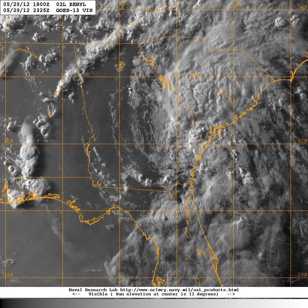


Visible satellite image of Tropical Storm Beryl (left) 27 May 2012 prior to Florida coast landfall. Tropical Depression Beryl (right) 29 May 2012. Image courtesy of the Naval Research Laboratory, Monterey CA.
| City | Rainfall(inches) | City | Rainfall(inches) | |
|---|---|---|---|---|
| Allendale | Ridgeville | |||
| McClellanville | Givhans | |||
| Fort Moultrie | Charleston City | |||
| Charleston AFB | Beaufort | |||
| Loris | Crabtree Swamp | |||
| Gallivants Ferry | Mullins | |||
| North Myrtle Beach | Georgetown Airport | |||
| Dillon | Hemingway | |||
| Clarks Hill | Newberry | |||
| McCormick | Sandy Run | |||
| Little Mountain | Aiken | |||
| Saluda | Johnston | |||
| Walhalla | Table Rock | |||
| Clinton | Antreville | |||
| Laurens | Calhoun Falls | |||
| Greenwood | Greer |
| Location | Peak Winds |
|---|---|
| Anderson | |
| Charleston AFB | |
| Columbia Metro | |
| Florence | |
| Greenville-Donaldson | |
| Greenville-Spartanburg | |
| Hilton Head | |
| Myrtle Beach | |
| Rock Hill |
ACKNOWLEDGEMENTS:
Special thanks to the National Oceanic and Atmospheric Administration and its many divisions for the wealth of weather and climate data made available to prepare this report. Specific thanks to:
Additional thanks to the Naval Research Laboratory Monterey's Marine Meteorology Division for the well-cataloged library of satellite imagery used for this report.
