
Characterization of the Ashepoo-Combahee-Edisto (ACE) Basin, South Carolina
Geomorphology
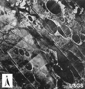
Geomorphology integrates the study of the interactions between physical components of the atmosphere, the earth (lithosphere), and water (hydrosphere) with the biological communities of plants and animals, and especially humans that modify landforms. The periodic landward and seaward movement of the shore across the coastal plain can be seen in the landforms of the ACE Basin such as relict dune ridges and marsh plains.
The lower coastal plain of South Carolina, including the ACE Basin, has been subjected to repeated cycles of sea-level rise and fall which has resulted in a complex three-dimensional mosaic of Pleistocene-age fluvial and marine sediments. The coastal portion of the ACE Basin is characterized by sea islands, marsh islands, and barrier islands that are interlaced by estuaries, extensive salt marshes, intertidal areas, and oyster reefs. Three major rivers (Ashepoo, Combahee, and Edisto) provide freshwater and influence the character of inland portions of the study area. Additionally, there are approximately 20 Carolina bays in Colleton County that are larger than 0.8 hectares (Bennett and Nelson 1991). One bay in Colleton County exceeds 3,000 meters in length.
The primary source of sediments to the Basin is the deposition of terrestrial sediments carried there by rivers, and from the deposition of reworked marine sediments during submerged periods (McIntyre et al. 1991; Soller and Mills 1991). The major rivers in the ACE Basin, the Ashepoo, Combahee, and Edisto, each have extensive drainage areas. The Edisto River, with its headwaters beginning below the fall line in South Carolina has the largest watershed of the three rivers. The Edisto River is the primary source of materials eroded from upland areas and supplied to the ACE Basin. The smaller Ashepoo and Combahee rivers originate from swamps on the coastal plain and also contribute large amounts of freshwater, and dissolved and suspended materials to St. Helena Sound. During wet weather episodes, the rivers of the ACE Basin, and especially the Edisto River, may expand out into their flood plains carrying thousands of tons of sediment. Fine mud and organic materials settle onto the soil and provide a fresh source of nutrients and minerals to the plant communities, making the flood plains very productive areas.
The ACE Basin has extensive areas of salt marsh formed during periods when sedimentation rates are great enough to keep pace with sea-level rise. The primary salt marsh vegetation type is Spartina spp. with a multispecies community developing at higher elevations not frequently inundated by seawater. Oyster reefs are also found in the Basin's plankton-rich tidal streams and provide habitat (structure) for animals within the intertidal zone, replacing the function which submerged aquatic vegetation (SAV) and coral reefs serve in other regions.
More recent anthropogenic processes shaping the ACE Basin coastal landscape include timber harvesting; agriculture; land use conversion, primarily for development; modifications to beachfronts; and dredging or filling of channels and wetlands. Implementing land use practices that recognize the geomorphic constraints within the ACE Basin will help to reduce anthropogenic impacts to its environment.