Saltwater Paddling Trail - McClellanville to Winyah Bay at Georgetown
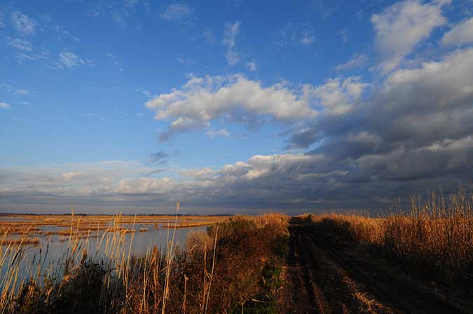
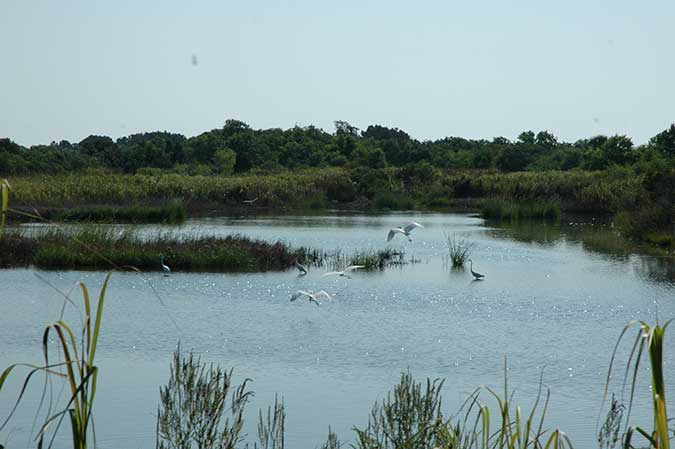
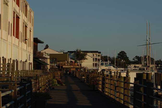
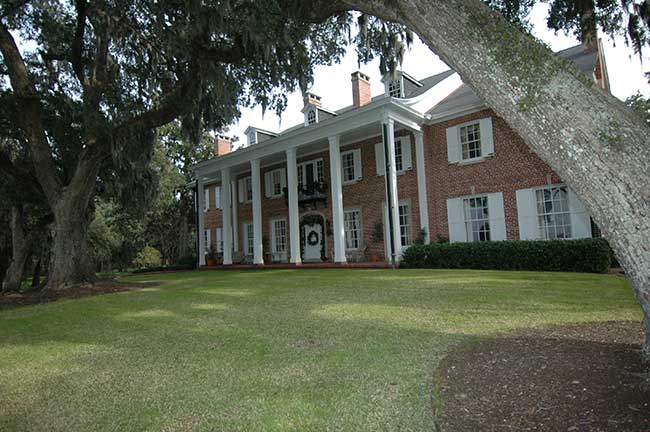
![]() Important wildlife areas on the paddling trail include the Santee Coastal Reserve Wildlife Management Area, Tom Yawkey Wildlife Center Heritage Preserve, and the North Inlet-Winyah Bay National Estuarine Research Reserve (NERR). This NERR is part of the adjacent research reserve of Hobcaw Barony, which includes the Belle W. Baruch Institute for ecological research. The historic Georgetown Lighthouse is at North Island. The City of Georgetown was once an important international port that served the area's once-thriving rice plantations and now features a significant historic district and Rice Museum. Georgetown's Morgan Park and East Bay Park are adjacent to the trail.
Important wildlife areas on the paddling trail include the Santee Coastal Reserve Wildlife Management Area, Tom Yawkey Wildlife Center Heritage Preserve, and the North Inlet-Winyah Bay National Estuarine Research Reserve (NERR). This NERR is part of the adjacent research reserve of Hobcaw Barony, which includes the Belle W. Baruch Institute for ecological research. The historic Georgetown Lighthouse is at North Island. The City of Georgetown was once an important international port that served the area's once-thriving rice plantations and now features a significant historic district and Rice Museum. Georgetown's Morgan Park and East Bay Park are adjacent to the trail.
Section 5 Map
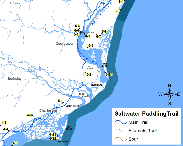
Places of Interest on the Trail
| Point No. | Name | Latitude / Longitude | County |
|---|---|---|---|
| 5-1 | Santee Coastal Reserve | 33.127893, -79.349299 | Charleston |
| 5-2 | Tom Yawkey Wildlife Center Heritage Preserve | 33.225658, -79.261000 | Georgetown |
| 5-3 | North-Inlet-Winyah Bay NERR | 33.305624, -79.250496 | Georgetown |
| 5-4 | Morgan Park Georgetown County | 33.354547, -79.278618 | Georgetown |
| 5-5 | East Bay Park | 33.359206, -79.277846 | Georgetown |
| 5-6 | Georgetown Historic District | 33.368500, -79.281440 | Georgetown |
| 5-7 | Hobcaw Barony | 33.349139, -79.215444 | Georgetown |
| 5-8 | Belle W. Baruch Institute | 33.350267, -79.195121 | Georgetown |
| 5-S1 | North Island Lighthouse | 33.222619, -79.185044 | Georgetown |
The Section 5 - Saltwater Paddling Trail Map above has been provided in the Adobe® Acrobat® (PDF) format. Adobe® Reader® is required to open the files and is available as a free download from the Adobe® Web site.
![]()
Photograph Gallery of Places of Interest on the Trail
Note: Select thumbnails below to view larger images.